Developing an Integrative Astronomy, Geography, Oceanography and Meteorology Research and Application Platform
A long-term platform for learning, using and researching astronomy, geography, oceanography and meteorology as one connected body of knowledge, with geometry, mathematics and physics as the shared foundation. Its first two applications, the Earth Atlas and the Celestial Atlas, already work. This post introduces the project and shows their gallery.
Source code: Integrative Astronomy, Geography, Oceanography Laboratory on GitHub (MIT License).
Abstract
English. This project studies astronomy, geography, oceanography and meteorology as one connected body of knowledge, in theory and in practice. Geometry, mathematics and physics form their shared foundation. The fields share spherical geometry, coordinate systems, the rotation group, potential theory, harmonic analysis and the dynamics of rotating, stratified fluids. They meet in concrete phenomena: tides, navigation, the figure and mapping of the Earth, the coupled exchange between ocean and atmosphere, and the astronomical forcing of climate. New ideas will keep emerging and evolving, so the project is designed throughout to be modular, extensible and revisable.
中文. 本项目是一个长期的综合计划,以几何学、数学与物理学为共同基础,把天文学、地理学、海洋学与气象学作为一个相互联系的知识整体,从理论与实践两方面加以学习、应用和研究。这些领域共享球面几何、坐标系、旋转群、位势理论、调和分析以及旋转层结流体动力学,并在潮汐、导航、地球的形状与测绘、海洋与大气的耦合交换以及气候的天文强迫等现象中交汇。由于新的想法会不断涌现和演化,本项目以模块化、可扩展、可修订为总体设计原则。
日本語. 本プロジェクトは、幾何学・数学・物理学を共通の基盤として、天文学・地理学・海洋学・気象学を一つのつながった知識体系として、理論と実践の両面から学び、使い、研究するための長期的な総合プログラムである。これらの分野は球面幾何学、座標系、回転群、ポテンシャル論、調和解析、回転成層流体の力学を共有し、潮汐、航法、地球の形状と地図化、海洋と大気の結合した交換、気候の天文学的強制といった現象において交わる。新しい着想が絶えず生まれ発展していくことを前提に、モジュール性・拡張性・改訂可能性を全体の設計原則とする。
Why One Platform
These subjects are usually taught apart, yet shared structure binds them together.
- Spheres and rotations. The celestial sphere, the figure of the Earth, and the ocean and atmosphere (thin fluid shells on a rotating sphere) are all described by the geometry of the sphere. Changes of reference frame are elements of SO(3), and fields on the sphere expand in spherical harmonics.
- Tides join astronomy to oceanography. The Moon and the Sun set up a tide-generating potential, and the ocean responds to it. Each tidal constituent oscillates at an integer combination of six fundamental astronomical frequencies (Doodson’s expansion).
- Navigation joins astronomy to geography. A position at sea is fixed from star sights by solving a spherical triangle, with an almanac computed by positional astronomy.
- Ocean and atmosphere form one coupled fluid system. Both obey the equations of rotating, stratified flow and exchange momentum, heat, freshwater and gases at the sea surface. ENSO and the monsoons exist only in the coupled system.
- Astronomy sets the sunlight. It decides how sunlight is distributed over the Earth, and how that distribution changes slowly over millennia (the Milankovitch cycles).
- Geography maps the surface where all of these meet, resting on geodesy and map projections.
How It Is Built
The project spans four repositories. The laboratory composes three independent C++ libraries, and its dependencies point only downward:
1 | Edges applications · visualization · observation · data |
| Library | Scope |
|---|---|
| calx | A retargetable computation stack with numerical methods. A computation is written once and runs on the CPU (the reference backend) and on any device with a backend. |
| morphe | Mathematical structures and their equivalences: exact arithmetic, algebra, category theory, topology, algebraic geometry and formal structures. |
| physis | Geometry and theoretical physics: units, differential geometry, structure-preserving discretisation, mechanics, gravitation, thermodynamics, geophysical fluid dynamics, chemistry and radiation. |
Five principles guide the construction:
- Modularity. Libraries and core are pure computation; data, instruments and interfaces sit at the edges.
- Extensibility. A new field, method, device or presentation technique is added as a module, leaving existing ones intact.
- Revisability. Every module carries a status (
planned,seed,draft,stable,deprecated), and decisions are recorded with their alternatives. - Unity of theory and computation. Every formula cites its derivation, and every checkable result is checked by code.
- Verifiability. Results are validated against references such as IAU SOFA/ERFA, JPL Horizons, the IERS Conventions and NOAA tide predictions.
Gallery
These screenshots of the two applications were taken on 22 October 2026 with the data of that day. Both are web applications without a build step. Their computations are provisional, tested against published references: 105 checks for the Earth Atlas and 61 for the Celestial Atlas. Click an image to see it at full size.
The Earth Atlas
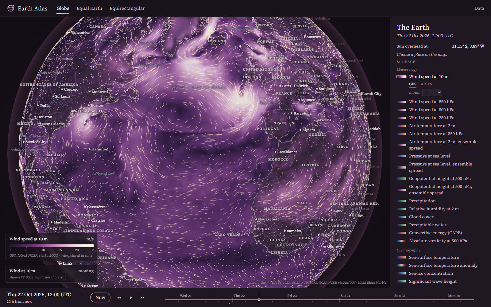
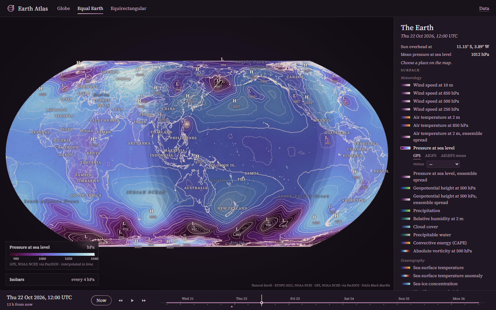
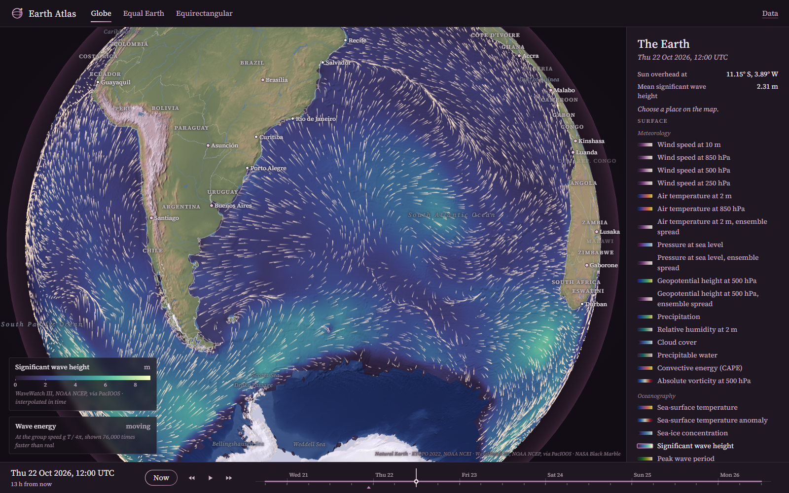
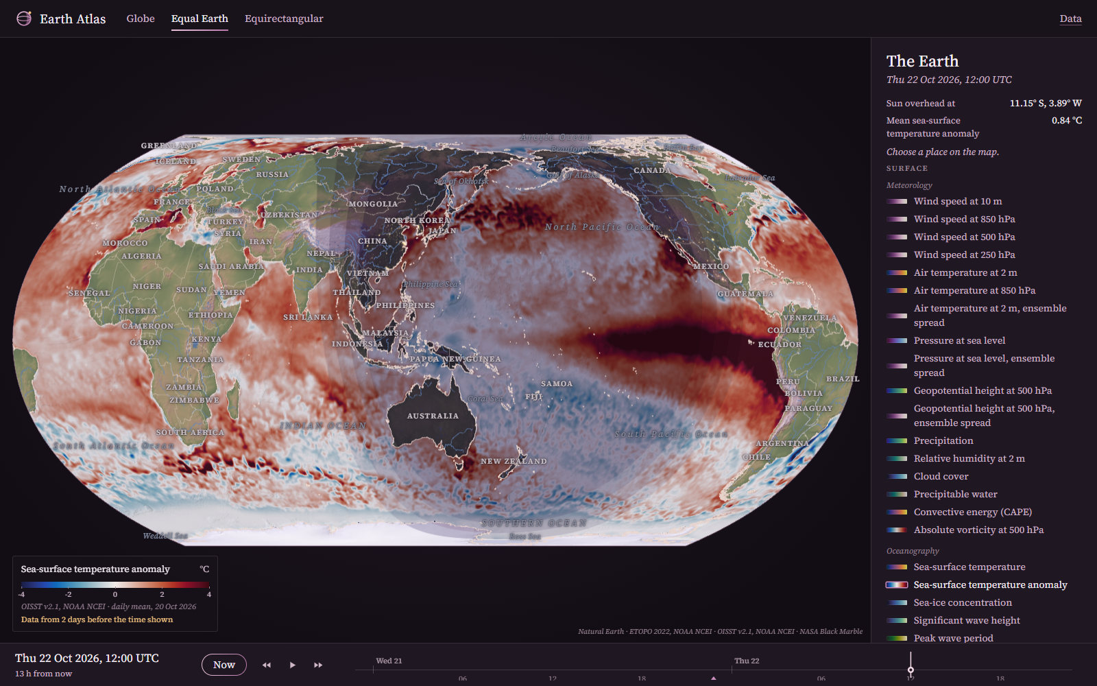
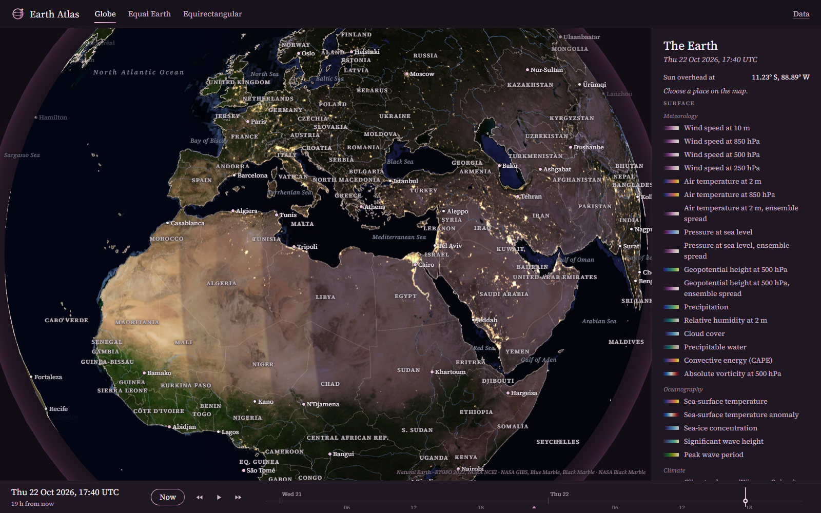
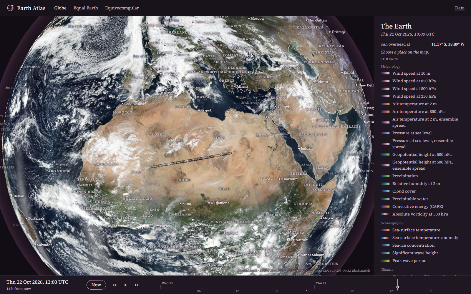
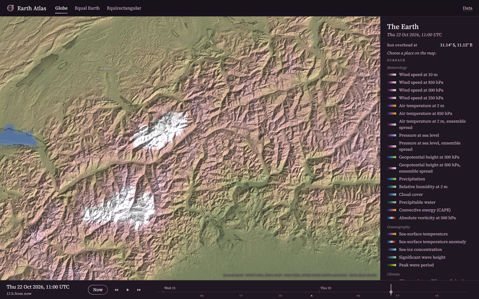
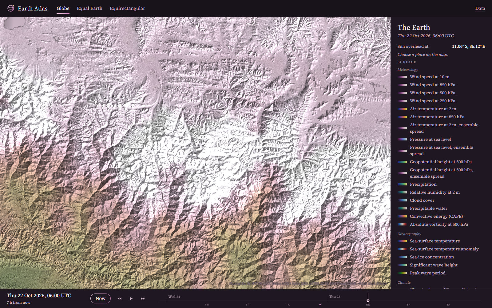
The atmosphere, the ocean, the land and its people on one globe, or on equal-area and equirectangular maps, at one instant. Each kind of data comes from its own dataset and is joined to the map only in the application.
Weather and the Ocean
Models Compared, and the Laboratory’s Own
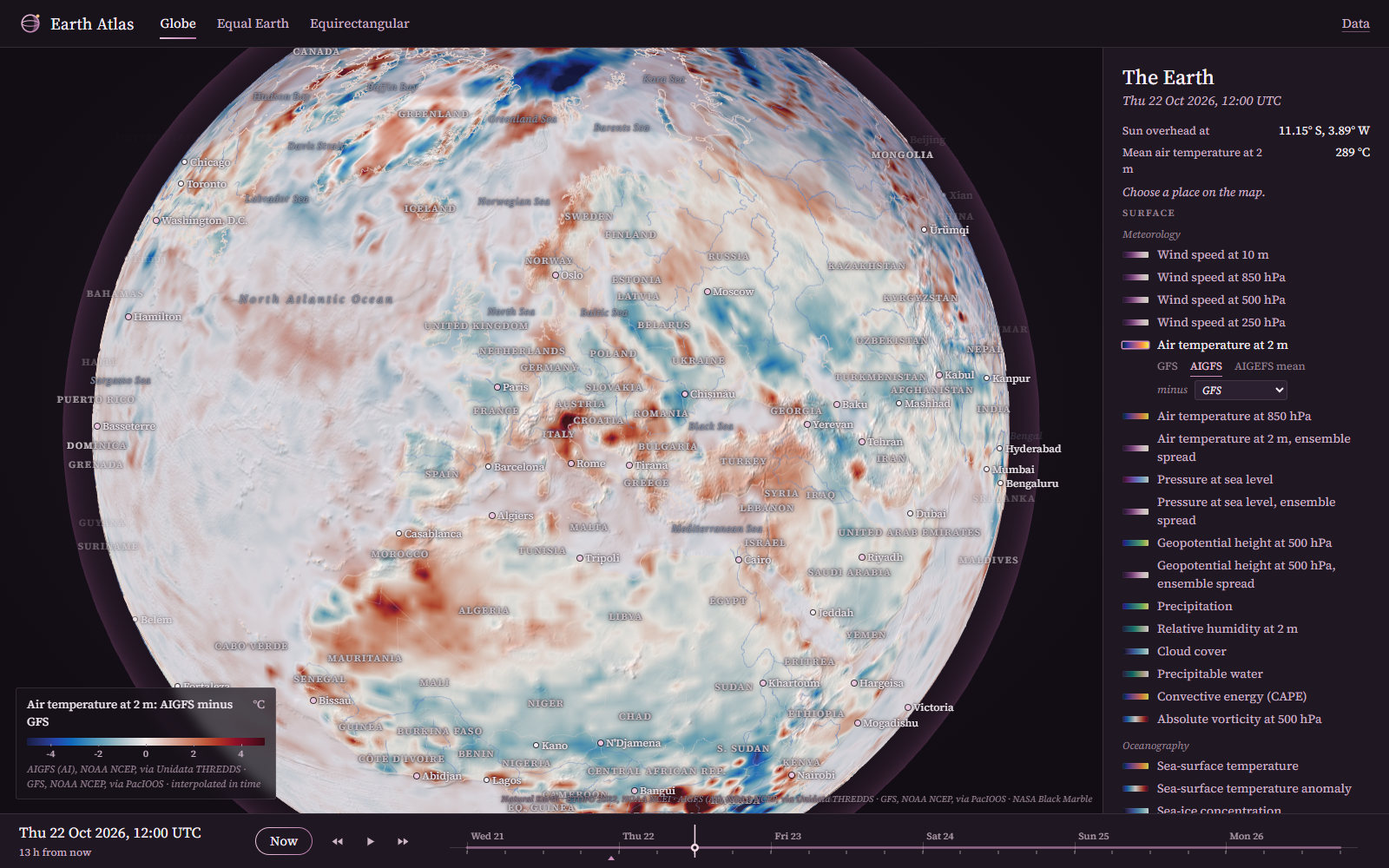
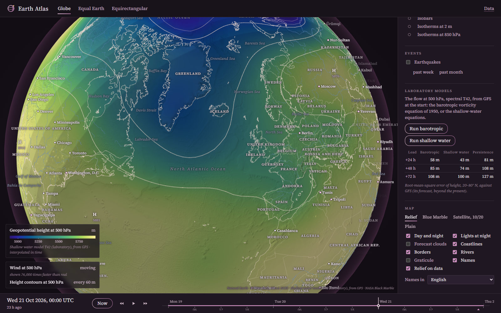
The laboratory’s two models run in the page by the spectral transform method at T42. Their errors, compared with persistence (the forecast that nothing changes):
| Lead | Barotropic model (1950) | Shallow-water model | Persistence |
|---|---|---|---|
| +24 h | 58 m | 43 m | 81 m |
| +48 h | 85 m | 74 m | 108 m |
| +72 h | 108 m | 100 m | 127 m |
These are root-mean-square errors of the height of the 500 hPa surface over 20–80° N, against the GFS’s own analyses. The theory is in the notes on the barotropic model and the shallow-water model.
Climate
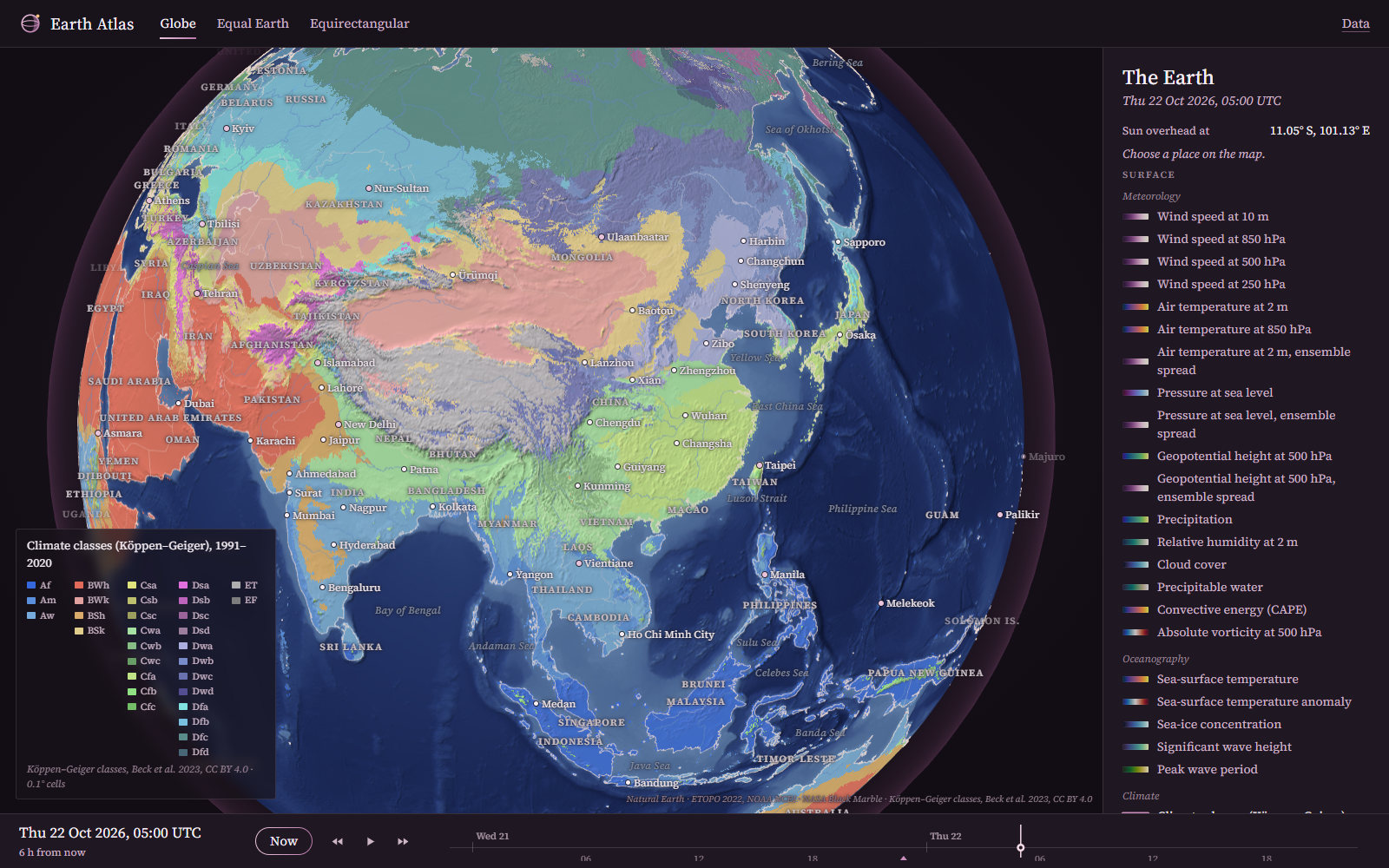
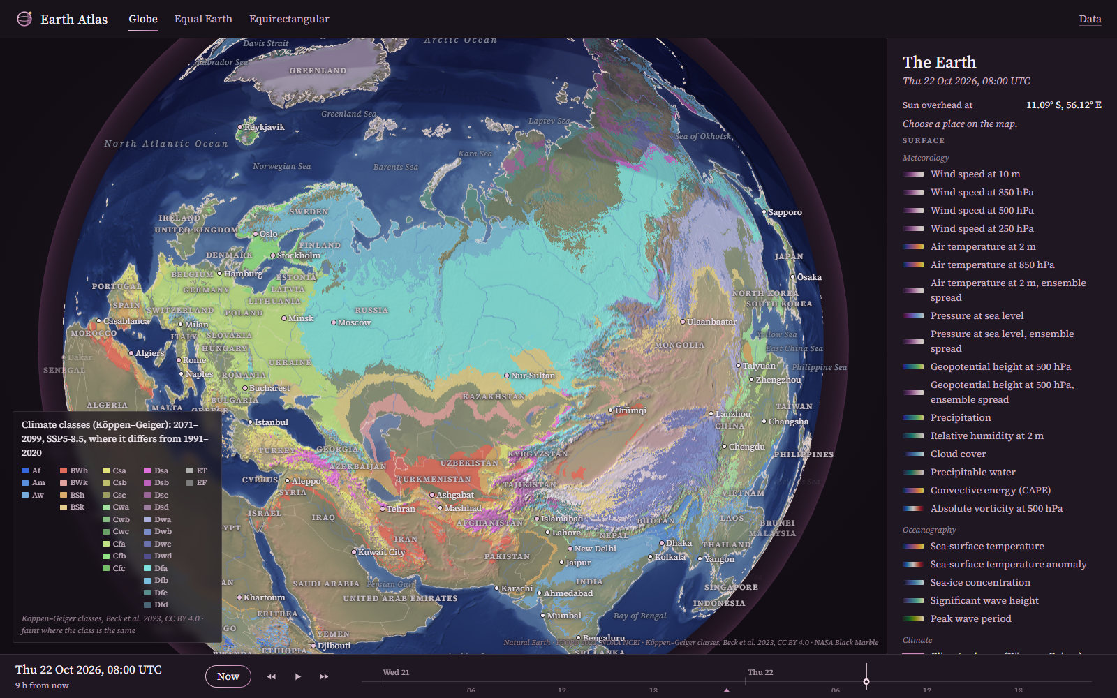
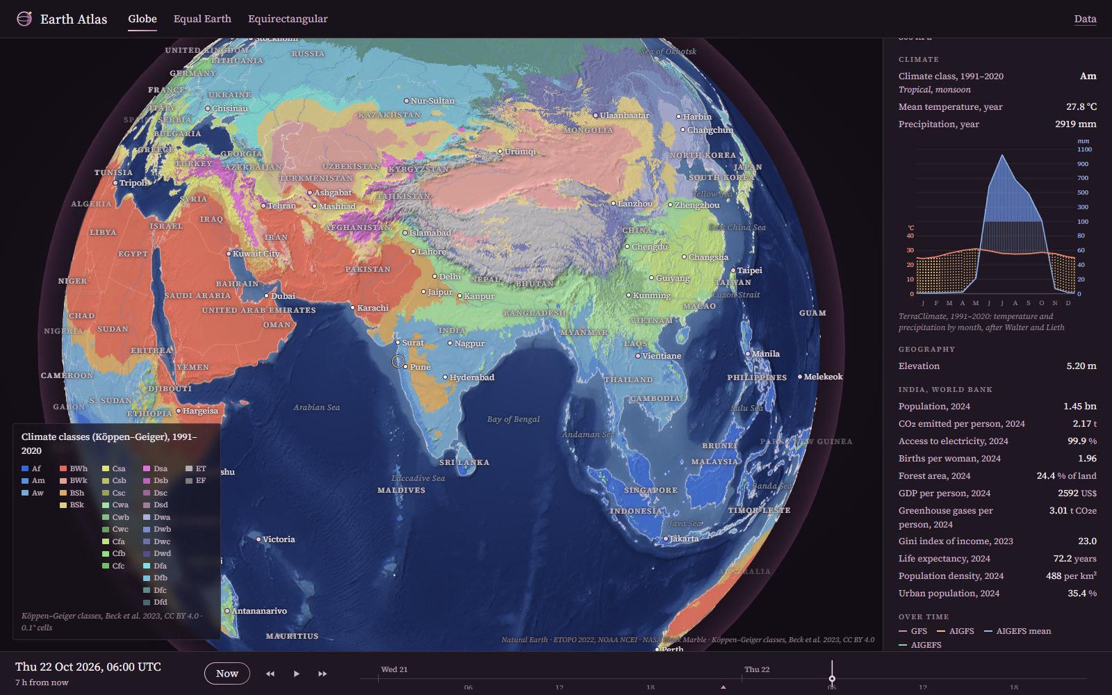
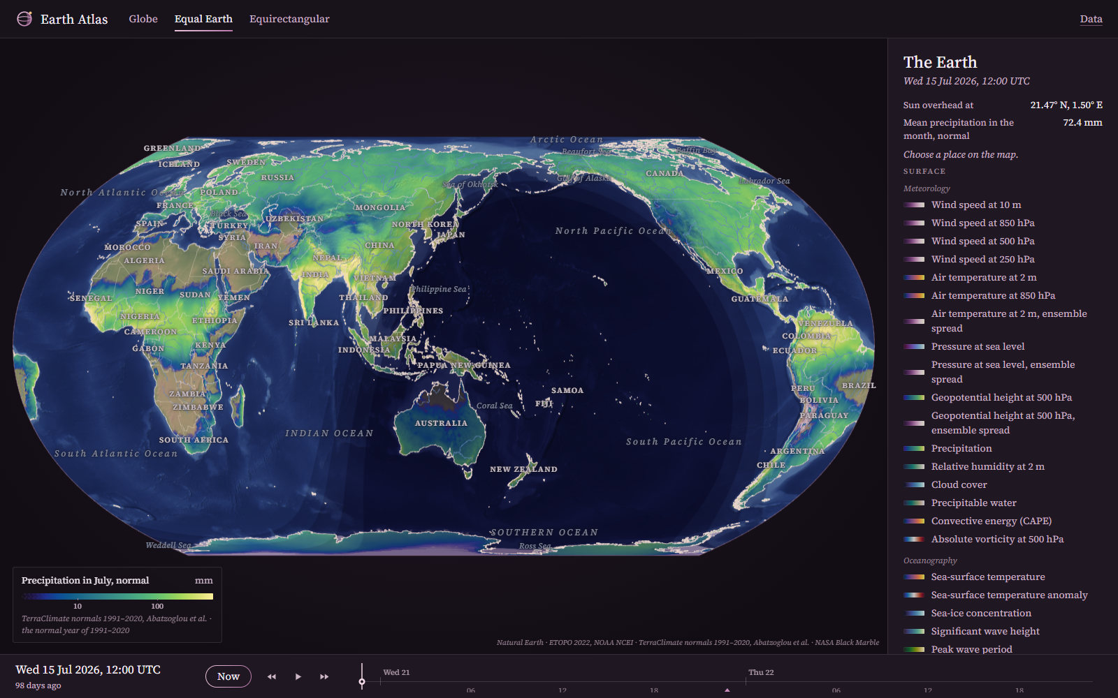
The atlas also classifies the TerraClimate normals itself, by the rules of Beck et al. (2018). Its classes agree with the published map in 89 % of land cells. The classification is invariant under a group of order 2·(6!)⁴: permutations of the months within each half-year, and the exchange of the halves. See the theory note.
The Earth from Space, and Its Relief
Earthquakes and People
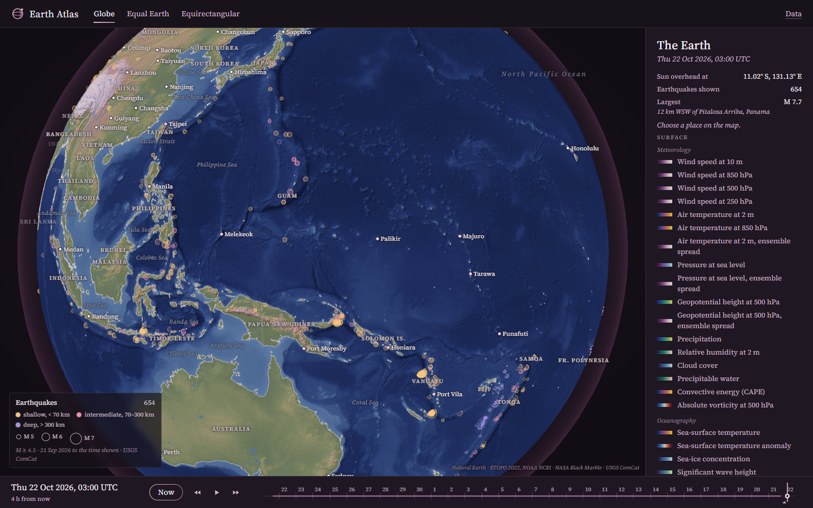
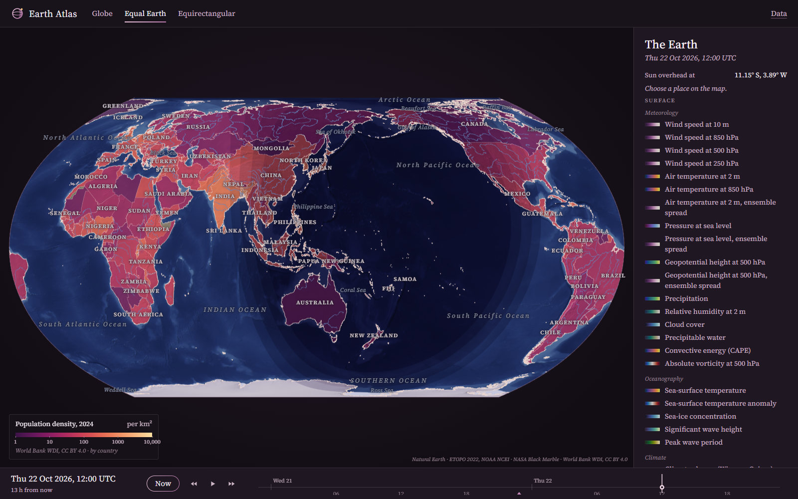
The Celestial Atlas
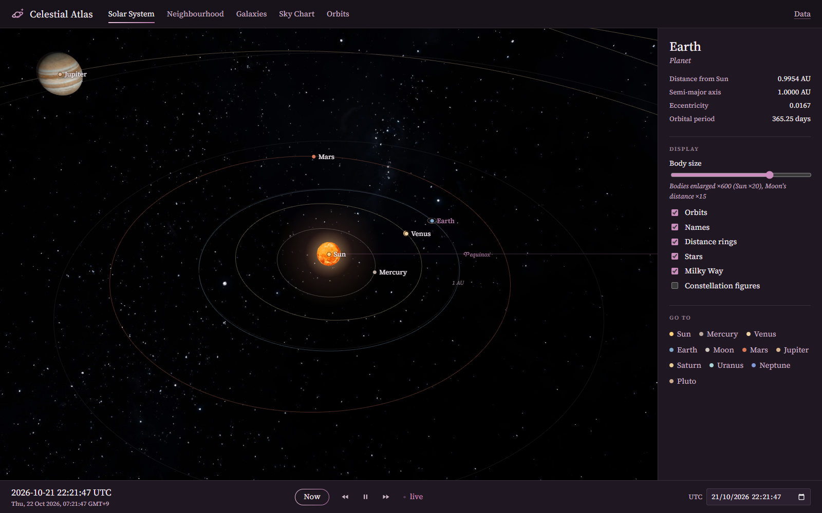
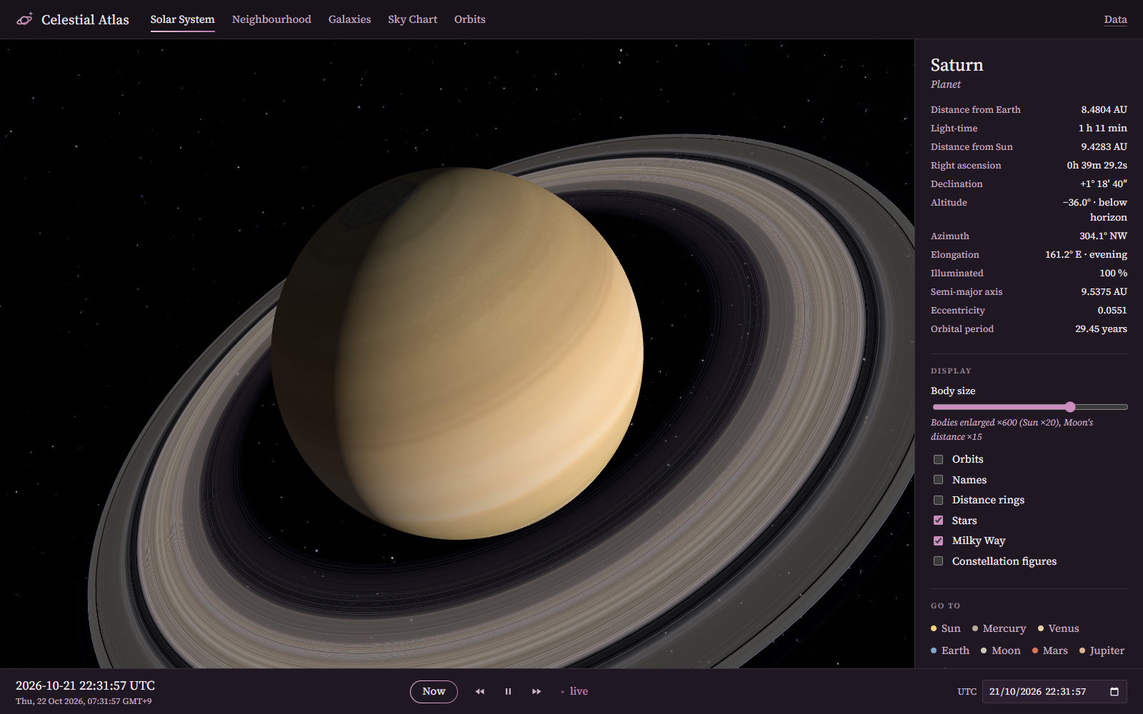
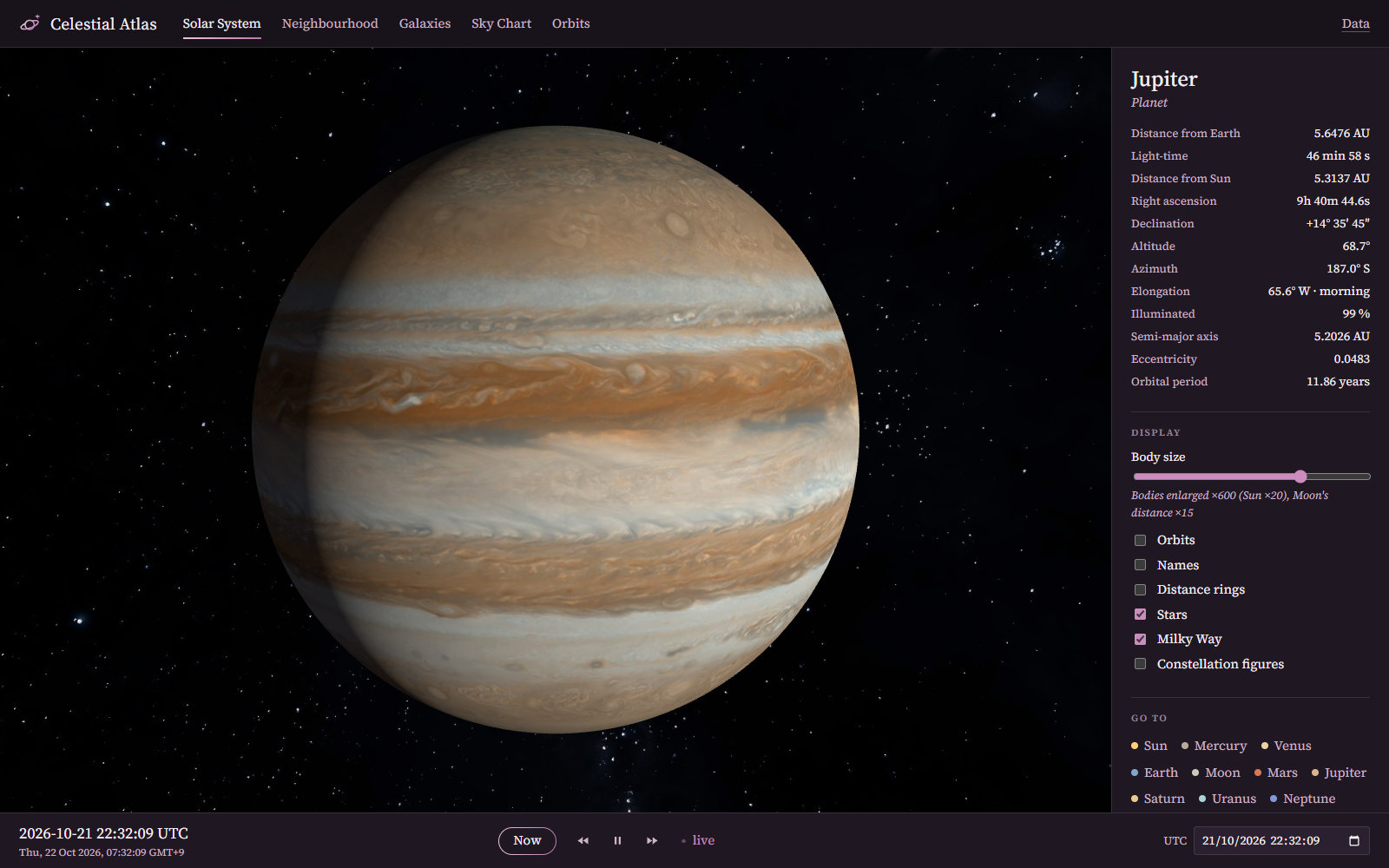
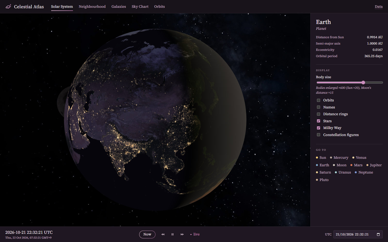
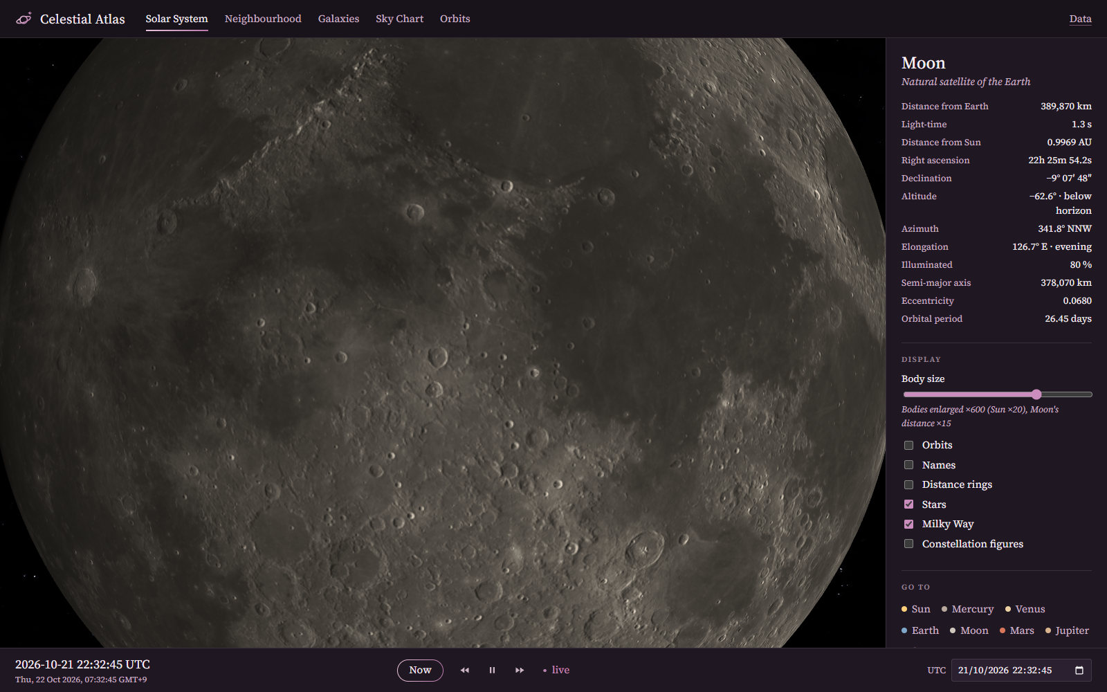
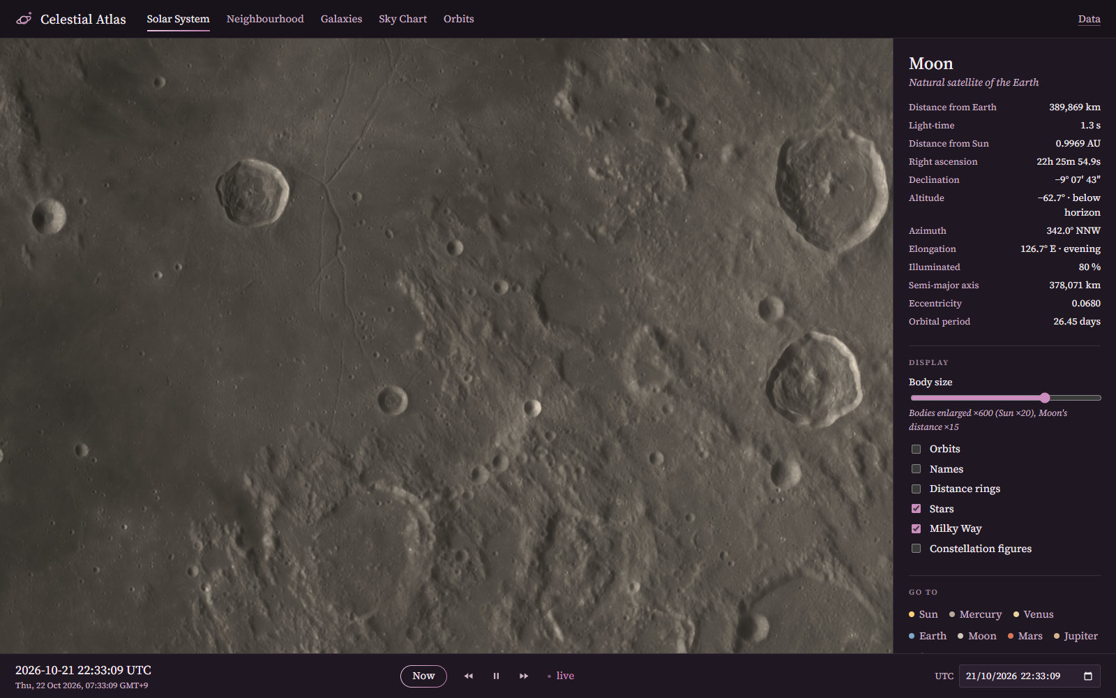
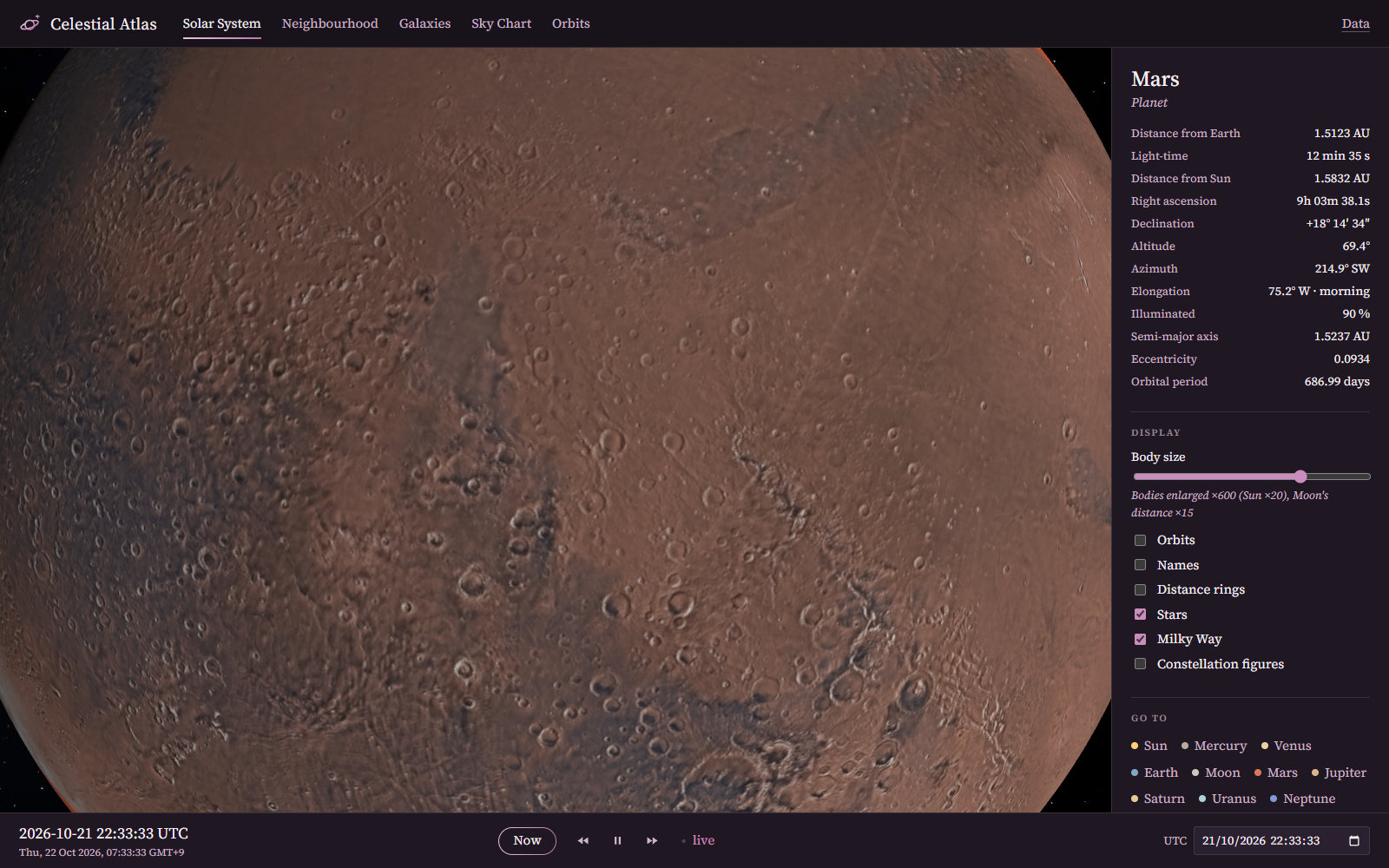
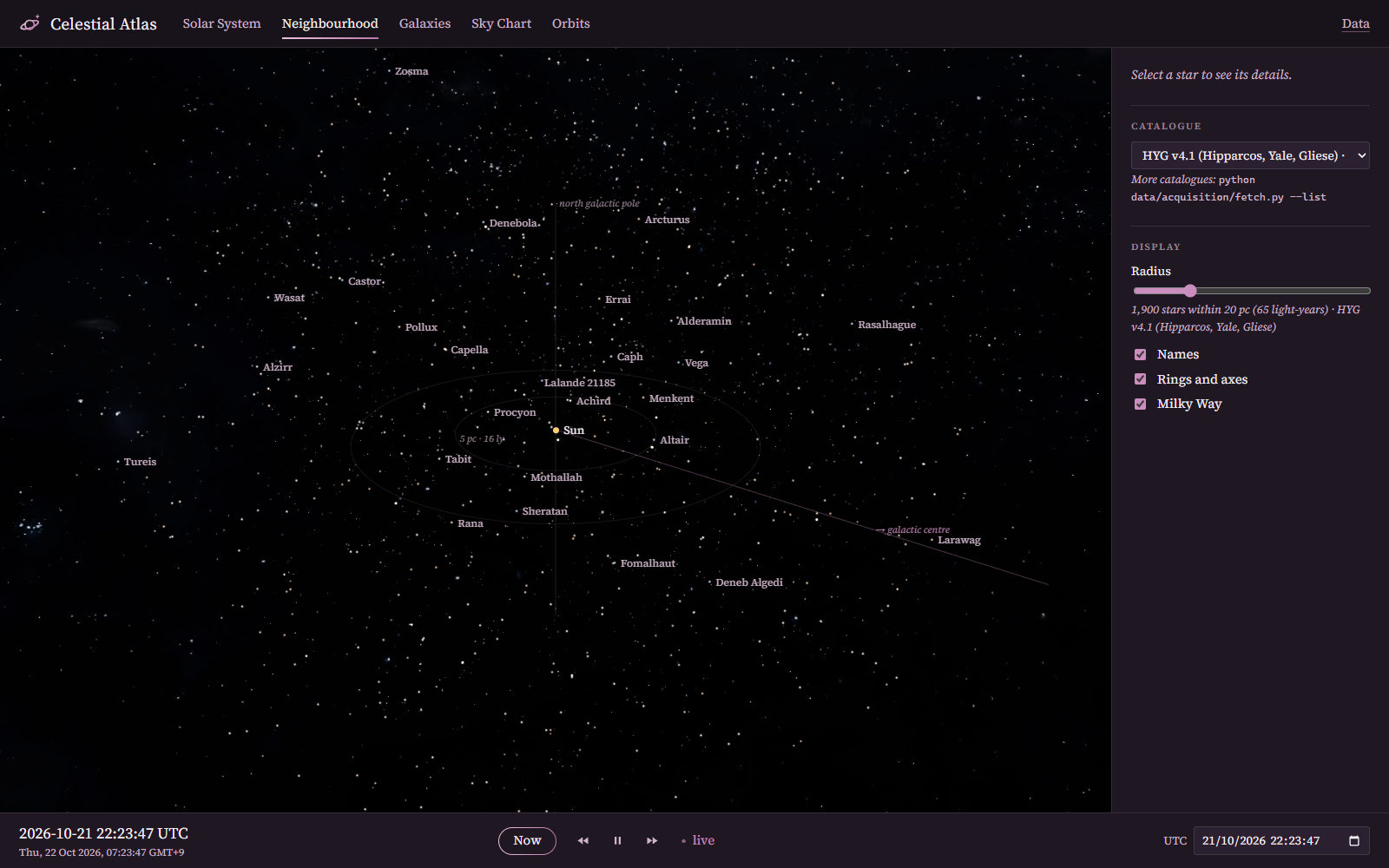
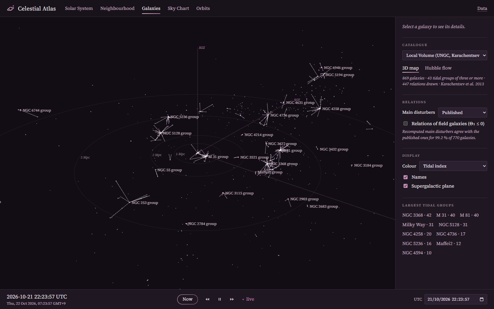
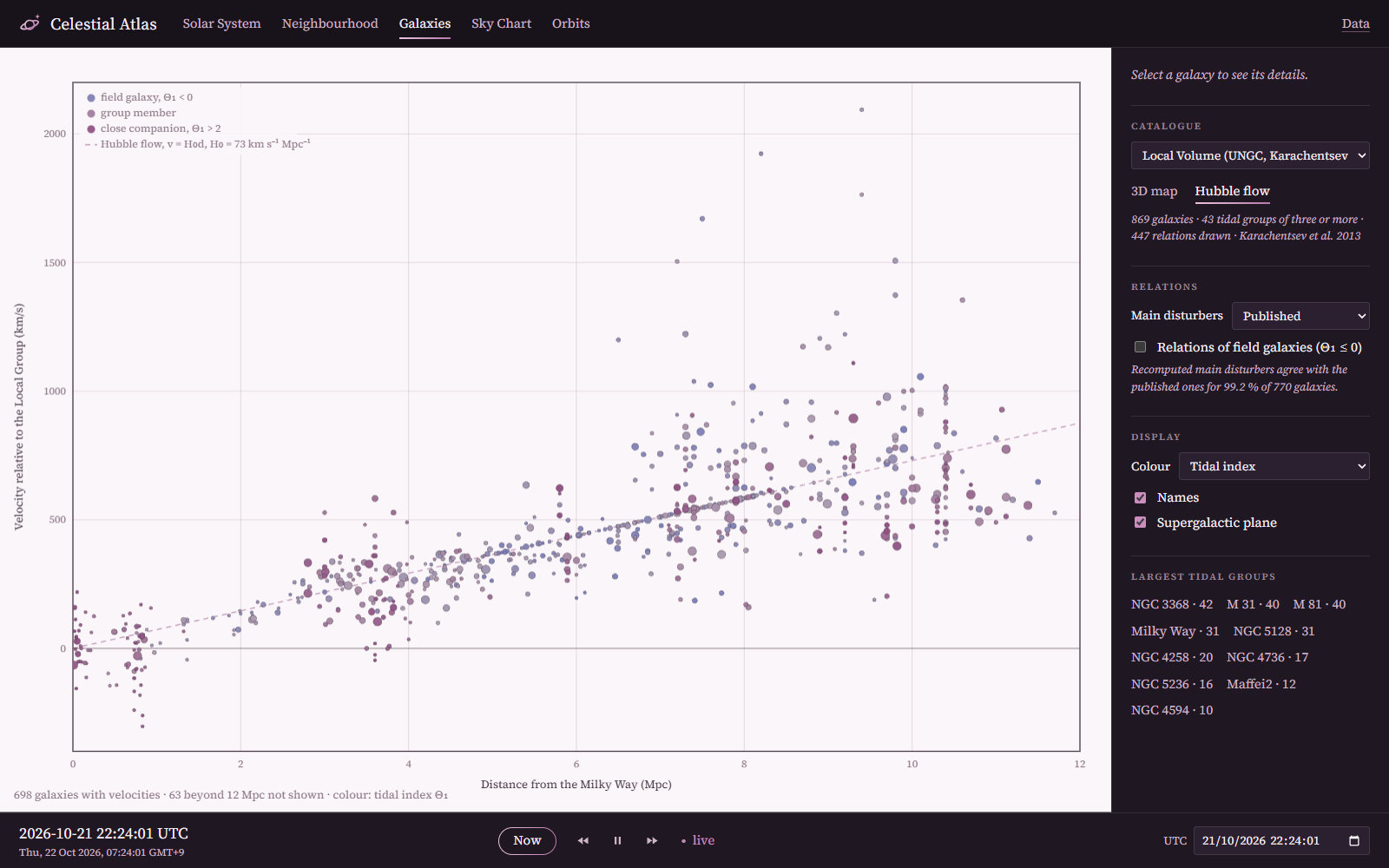
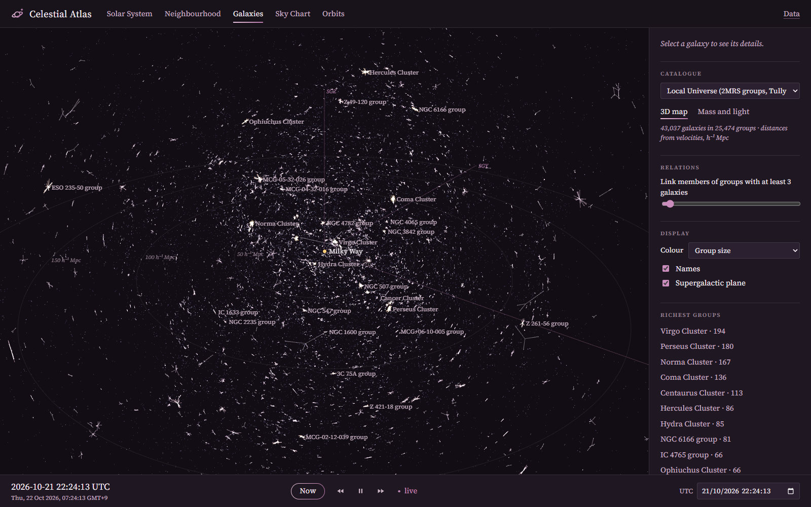
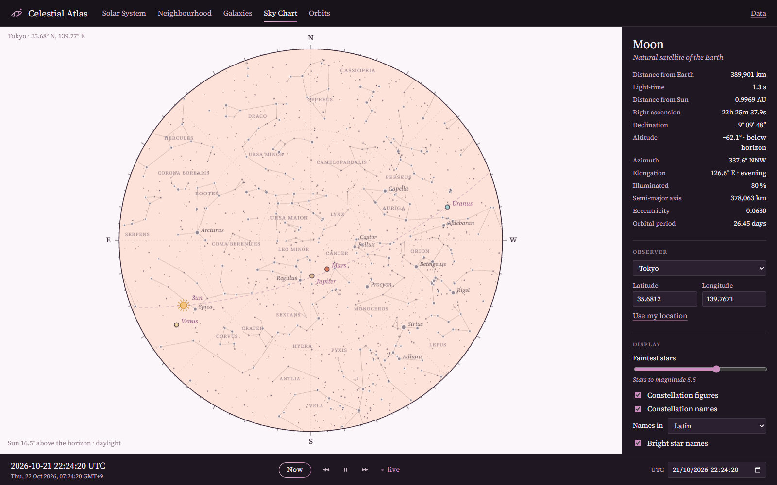
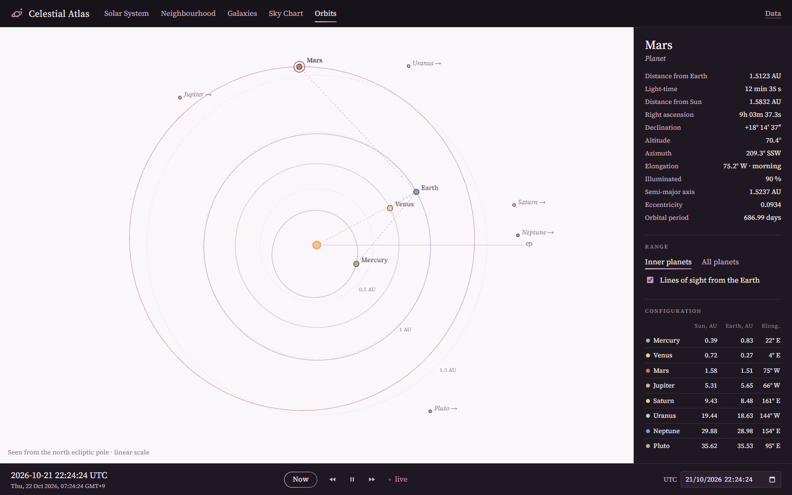
The Sun, the Moon, the planets, the stars and the galaxies, at any instant from 1849 to 2150 or live. Positions come from JPL’s DE440 ephemeris, read directly from its kernel.
The Solar System
Close to the Moon and Mars, and Beyond the Sun
Galaxies, the Sky and the Orbits
Status and Next Steps
Early working stage (22 October 2026). The architecture is designed, and the four repositories are scaffolded and published. Two applications work, and their computation is provisional JavaScript tested against published references. There is no C++ code yet. The next step is Phase 0 of the roadmap: the toolchain and the build.
New fields such as geophysics and the cryosphere may join as the work grows.
Credits
The screenshots are the laboratory’s, under its MIT licence. The data in them keep their own licences.
| Data | Source | Licence |
|---|---|---|
| Base map | Natural Earth | Public domain |
| Relief | ETOPO 2022 (NOAA NCEI); ASTER GDEM (METI and NASA), shaded by NASA GIBS | Public domain; NASA, acknowledge |
| Forecasts and analyses | GFS and WaveWatch III (NOAA NCEP, via PacIOOS ERDDAP); AIGFS (NOAA NCEP and EPIC, via Unidata THREDDS); OISST v2.1 (NOAA NCEI) | Public domain |
| Climate classes | Beck et al. (2023), Scientific Data 10, 724 | CC BY 4.0 |
| Climate normals | TerraClimate (Abatzoglou et al. 2018) | CC0 |
| Imagery of the Earth | VIIRS true colour, Blue Marble and Black Marble (NASA, via GIBS) | NASA, acknowledge |
| Country indicators | World Bank, World Development Indicators | CC BY 4.0 |
| Earthquakes | USGS ComCat | Public domain |
| Ephemeris | JPL DE440 (Park et al. 2021) | Freely distributed |
| Maps of the bodies and the sky | Solar System Scope (INOVE), from NASA, JPL and ESA data | CC BY 4.0 |
| Detail of the Moon and Mars | LRO WAC (NASA/GSFC/ASU), Viking MDIM 2.1 (NASA/USGS), via NASA Trek | NASA, acknowledge |
| Stars | HYG v4.1 | CC BY-SA 4.0 |
| Galaxies | Karachentsev et al. (2013); Tully (2015); names from SIMBAD (CDS) | Published catalogues; cite |